
Border Intelligence Center
Official CBP Wait Times • Updated Automatically Throughout the Day
- San Ysidro 160 min SENTRI 5 min Heavy delay
- Otay Mesa 170 min Current wait Heavy delay
- Tecate Unavailable Current wait Not reported
- Pedestrian 5 min at San Ysidro Moving well
- USD / MXN 18.4571 -0.05%
- Best crossing San Ysidro 160 min
- Updated 8:36 am Official CBP feed
Detailed Border Wait Times (CBP)
| Port of Entry | General | Sentri | Pedestrian |
|---|---|---|---|
| San Ysidro | 160 min | 5 min | 5 min |
| Otay Mesa | 170 min | — | 5 min |
| Tecate | — | — | — |
Estimated Total Travel Time
- From
- Colonia Rancho la Cima, Tijuana
- Drive
- 10 minutes
- Border wait
- 160 min
- Total estimate
- 170 min
Drive time is an estimate; the border wait is live and changes through the day. Check again before you travel.
Mexico Customs Official government resource
Returning to Mexico with purchases? Check Mexico's current traveller allowance (franquicia), declaration requirements and customs guidance before you cross.
U.S. Border Wait Times Official government resource
Check live northbound passenger vehicle and pedestrian wait times at San Ysidro and Otay Mesa before you leave Tijuana.
Trusted Traveler Programs Official government resource
SENTRI and Global Entry members use dedicated lanes at San Ysidro and Otay Mesa. Apply or renew through the official DHS portal.
Electronic I-94 Official government resource
Travellers entering the United States can obtain or review their electronic I-94 arrival record before crossing.
Vehicle Permits Official government resource
Driving beyond the Baja California free zone requires a temporary vehicle import permit, issued by Banjercito.
Medical FastLane Official government resource
Patients attending medical appointments across the border may use the Cruce Agil / Medical FastLane northbound lane.
Find your neighborhood Encuentra tu colonia
Start typing and go straight to your colonia — accents optional.
No page for that neighborhood yet. Todavía no tenemos una página para esa colonia. Ask us about your area
Colonia Rancho la Cima Quick Facts
- Drive to San Ysidro 10 minutes
- Major Shopping Cooperativa Escuela Primaria Heroes de la Reforma, Preparacion de Tamales
- Hospitals Teratipia Psicologia
Welcome to Colonia Rancho la Cima, Tijuana
- Distance
- 5.9 miles
- Typical drive
- 10 minutes
- Closest crossing
- San Ysidro
Map
About Colonia Rancho la Cima, Tijuana
Rancho la Cima is a mapped Tijuana colonia in the San Antonio de los Buenos delegación, covering approximately 33 hectares.
Mapped roads within the colonia include Calle Justo Sierra, Cañón Johnson Sur Parte Baja, Calle Josefa Ortiz de Domínguez, Calle Rampa Televisión, and Prolongación 20 de Noviembre. These names can help residents orient a trip, while current street conditions should still be checked before leaving.
Local records list 17 businesses and services attributed to Rancho la Cima. Useful reference points include Cooperativa Escuela Primaria Heroes de la Reforma, Teratipia Psicologia, Escuela Primaria Publica Heroes de la Reforma, Preparacion de Tamales, OXXO, and Costrumat.
Its mapped boundary meets Chihuahua, El Progreso, and Hidalgo. This boundary context helps distinguish Rancho la Cima from adjacent or similarly named areas.
The routed drive from Rancho la Cima to San Ysidro P.O. Box N Ship is 5.9 miles and about 10 minutes in free-flow conditions. Border wait and changing traffic are separate from that estimate.
Residents and businesses in Rancho la Cima can use a San Ysidro street address for eligible U.S. purchases, documents, and supply parcels that may not ship directly to Mexico. Packages can be collected together after checking current traffic and border conditions.
- 33 hectares in San Antonio de los Buenos
- 6 mapped named roads
- 3 local service categories
- 5.9 routed miles to the store
- 10-minute free-flow route
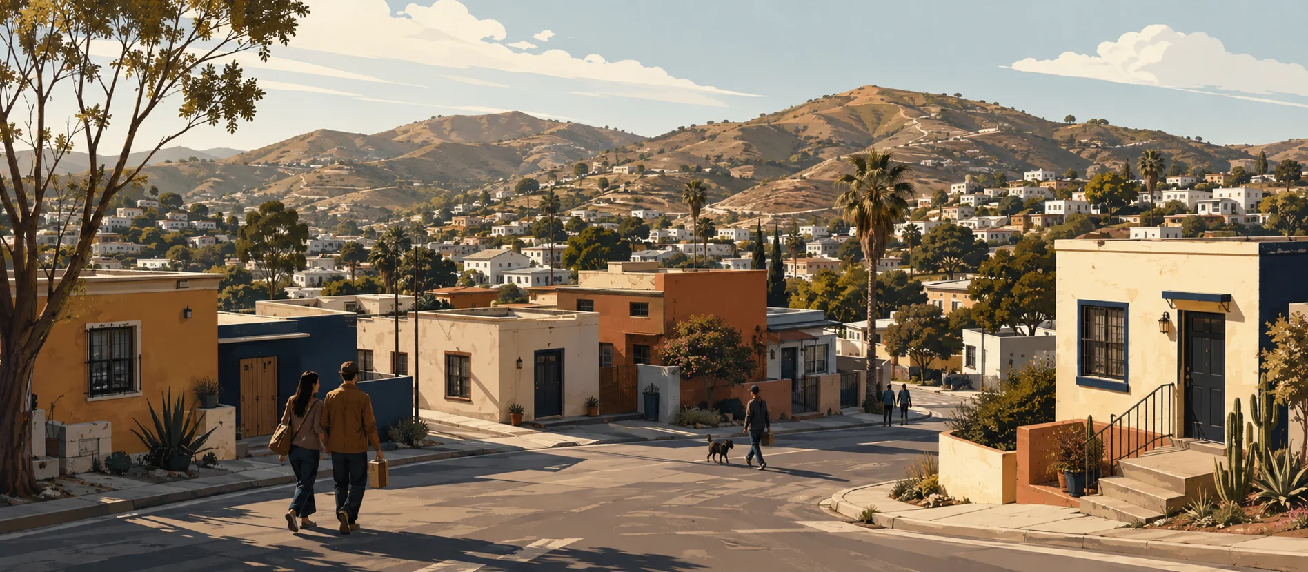
- Original delegación illustration
Planning a pickup? Compare plans, staffed hours and carrier options on our Tijuana mailbox and package-receiving guide.
Neighbourhood insights
What makes Colonia Rancho la Cima, Tijuana distinctive?
Rancho la Cima combines a 33-hectare municipal identity with 17 attributed local business and service records across 3 displayed categories.
Why do people here use a U.S. mailbox?
A San Ysidro address provides one receiving point for eligible U.S. orders that do not ship directly to Mexico.
Who uses the service most from this area?
Households, students, workers, and local businesses in Rancho la Cima receiving eligible retail, document, and supply parcels.
Nearby landmarks
Shopping
-
Cooperativa Escuela Primaria Heroes de la Reforma
Listed in local records within Rancho la Cima, Tijuana.
-
Preparacion de Tamales
Listed in local records within Rancho la Cima, Tijuana.
-
OXXO
Listed in local records within Rancho la Cima, Tijuana.
-
Costrumat
Listed in local records within Rancho la Cima, Tijuana.
-
Abarrotes Cosio
Listed in local records within Rancho la Cima, Tijuana.
-
Abarrotes Delia
Listed in local records within Rancho la Cima, Tijuana.
Healthcare
-
Teratipia Psicologia
Listed in local records within Rancho la Cima, Tijuana.
Education
-
Escuela Primaria Publica Heroes de la Reforma
Listed in local records within Rancho la Cima, Tijuana.
Border crossing
The nearest crossing for Colonia Rancho la Cima, Tijuana is San Ysidro. Wait times vary considerably by hour and by day, and both pedestrian and vehicle lanes are worth checking before you travel — the pedestrian lane is often much faster when you are collecting a parcel rather than moving goods by car.
Bring the documents the crossing requires of you. A mailbox adds no further requirement of its own: collecting mail is an ordinary errand on the U.S. side.
Driving directions
OSRM free-flow route from the IMPLAN polygon center to the store; border wait excluded.
- Parking
- Free parking is available directly outside the San Ysidro store. Local parking in Rancho la Cima varies.
- Public transport
- Check current local transport and border conditions before travel; no fixed transit route is stated.
Travel times
- Distance
- about 5.9 miles
- Estimated driving time
- 10 minutes
- Plus border wait
- Varies at San Ysidro, often by hours. Check current wait times before travelling.
Frequently Asked Questions
How far is Rancho la Cima from the store?
The free-flow route is 5.9 miles and about 10 minutes; traffic and border wait are separate.
Can different carriers deliver to one mailbox?
Yes. UPS, FedEx, USPS, DHL, and most regional carriers can deliver eligible parcels to the U.S. street address.
What local references are listed for Rancho la Cima?
The page lists locally attributed names such as Cooperativa Escuela Primaria Heroes de la Reforma, Teratipia Psicologia, and Escuela Primaria Publica Heroes de la Reforma.
Why customers from Colonia Rancho la Cima, Tijuana choose us
-
A real U.S. mailing address
A street address rather than a PO Box number, so retailers and carriers that refuse PO Boxes will still deliver.
-
Secure package receiving
Parcels are signed for, logged and held securely until you collect them.
-
Border convenience
Positioned for the San Ysidro crossing, so collecting a parcel is an errand rather than an expedition.
-
Mail forwarding
Have mail and parcels sent onward when collecting in person is not practical.
-
Digital mailbox
See what has arrived without making the trip, and decide what to do with it.
-
Bilingual support
Staff who work in English and Spanish, every day, for customers on both sides of the border.
-
Business services
Notary, printing and a registered address businesses can use for supplier deliveries.
Why customers trust us
- Secure & Reliable Locked mailboxes and monitored premises
- Bilingual Team English and Spanish, every day
- Every Major Carrier UPS, FedEx, USPS and DHL accepted
We Also Serve
Other places we serve in Baja California
Get a U.S. address for Colonia Rancho la Cima, Tijuana
San Ysidro P.O. Box N Ship gives you a real street address minutes from the border, with package receiving from every major carrier and bilingual support.